
BAM Assessments
The NSW Biodiversity Assessment Method for evaluating biodiversity values at development and offset sites.
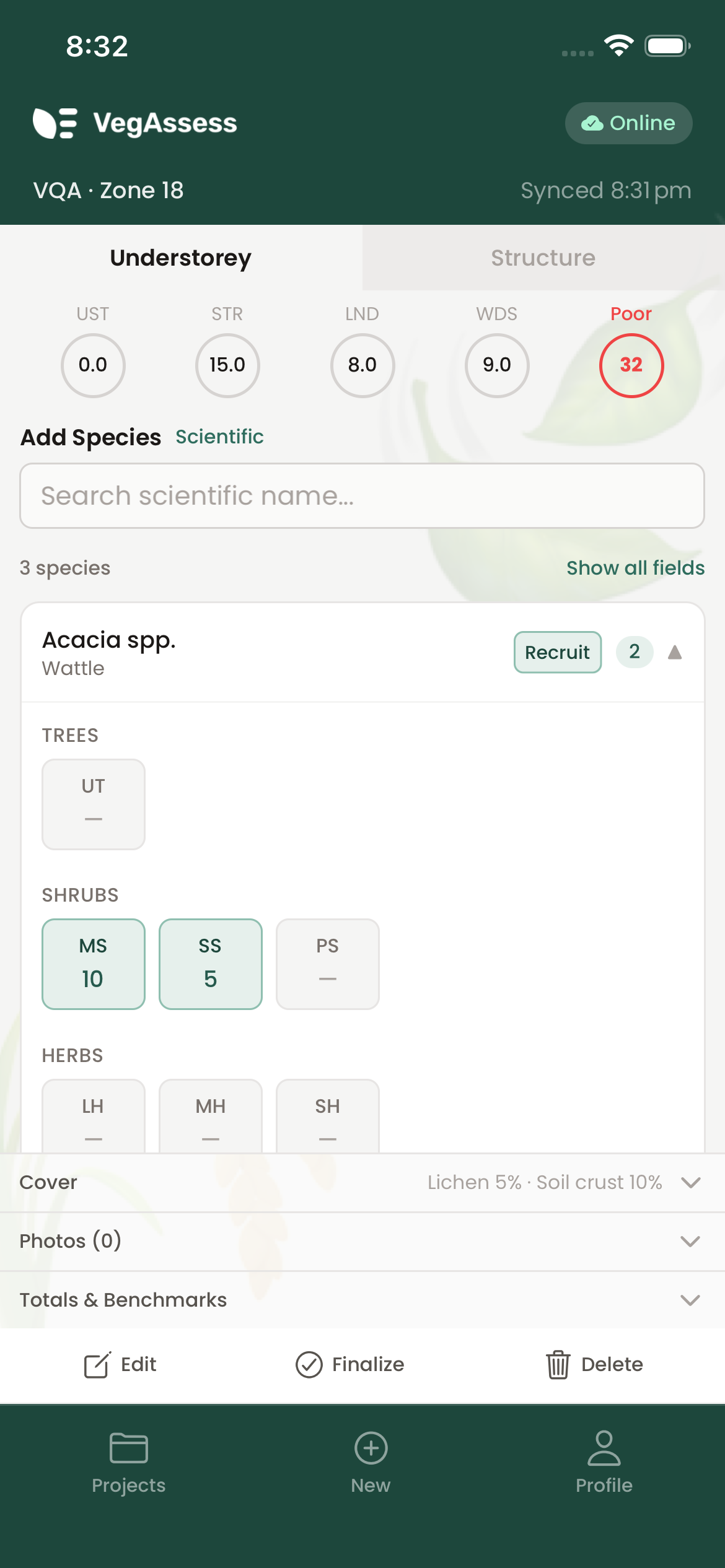
What is BAM?
The Biodiversity Assessment Method (BAM) is the standardised methodology used in New South Wales for biodiversity impact assessments. It applies to development applications, biodiversity offset calculations, and environmental impact statements under the NSW Biodiversity Conservation Act 2016.
VegAssess implements the BAM field data collection requirements, guiding assessors through each required plot measurement with validation to ensure nothing is missed.
Assessment components
BAM assessments use standardised plot sizes and transects. VegAssess guides you through each required data point:
- Species composition — native and exotic flora counts and identifications
- Vegetation structure — cover and height of each vegetation stratum
- Function attributes — large tree count, hollow-bearing trees, and stem sizes (DBH)
- Ground cover — native and exotic groundcover percentages, bare ground, rock, and litter
- Fallen logs — length measurements of coarse woody debris
- Fauna habitat — hollows, water, rocky outcrops, and other habitat features
Data requirements
BAM requires detailed species-level data. VegAssess validates your data as you enter it, highlighting any missing or incomplete fields before you leave the site.
- Tree measurements — DBH for each tree, counted by size class, with hollow-bearing trees recorded separately
- Ground cover transects — percentage cover of native groundcover, exotic groundcover, bare ground, rock, and litter
- Log measurements — length of coarse woody debris (>10cm diameter) within the plot
- Species richness — total count of native species within each plot, compared to reference data for the vegetation type
Plant Community Types
VegAssess includes the NSW BioNet Plant Community Type (PCT) database. Search by PCT number or name to select the correct vegetation type for your assessment. PCT data is cached locally for offline use.
Each PCT defines expected species assemblages and condition thresholds. Selecting the correct PCT ensures your assessment data is compared against the right reference values.